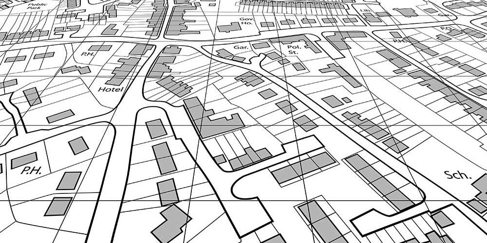
In order to comply with the standards and guidelines established by the Land Registry or other comparable regulating organizations, a Land Registry Compliant Plan is a thorough and accurate graphical depiction of a property. These blueprints are essential for real estate transactions, property transfers, and other legal procedures involving land and property.
These drawings are intended to give uniformity and clarity in property lines, ensuring that all stakeholders are fully aware of the size and features of the property.
Plan compliance with the Land Registry is important
Land Registry Compliant Plans provide a number of crucial functions, including:
Property Registration: A property must be registered with the Land Registry or the appropriate authorities whenever it is purchased, sold, or transferred. A key record needed in this procedure is a Land Registry Compliant Plan. It precisely specifies the property’s boundaries, measurements, and characteristics, lowering the possibility of disagreements and assuring a quick registration.
Legal Clarity and Certainty: These drawings provide a precise and unambiguous picture of the property, including any easements, rights of way, or other constraints that could impact how the land is used. All parties may comfortably move forward with their transactions knowing they are dealing with reliable information by having a standardized and acknowledged plan.
Property Disputes: They can result from ambiguous or inadequately defined boundaries. By providing a visible depiction of the property’s borders that can be referred to in court to resolve arguments, a Land Registry Compliant Plan aids in preventing such problems.
Planning and Development: Local governments and developers rely on these plans to comprehend property boundaries in relation to planned changes in land use and to evaluate the viability of development projects. This guarantees that any new buildings or alterations are done within the proper legal restrictions.
Mortgage and Insurance Purposes: To determine property values and reduce potential dangers, lenders and insurance firms may demand Land Registry Compliant Plans. In financial transactions, having a precise depiction of the property protects everyone’s interests.
What Makes a Plan Compliant with the Land Registry?
A plan must have the following crucial elements in order to be deemed compatible with Land Registry regulations:

Scale and Orientation: The design has to have a distinct scale so that measurements correctly represent the size of the land. To connect the plan with actual geographic directions, the orientation (North arrow) must also be displayed.
Title Information: The plan should include the property’s title number as it appears on the Land Registry, as well as any pertinent leasehold information and other pertinent data.
Borders and Land Features: It’s crucial to have borders that are exact and well-defined. Buildings, roads, rivers, and fences, as well as any other physical objects on the land or nearby, should all be shown in detail.
Easements and Rights of Way: The existence of any easements or rights of way that may influence how the property is used should be correctly depicted in the plan. This includes walkways and other easements.
Scale Bar and Legend: Accurate distance measurements on the plan depend on the scale bar. A narrative that explains any symbols or markers used on the plan should also be provided.
Professional certification and surveying
A certified surveying company or a licensed land surveyor is needed to create a Land Registry Compliant Plan. These experts guarantee that the plan complies with the requirements and appropriately depicts the features of the property.
Once the plan is written, the surveyor must certify it. The certification serves as evidence that the plan accurately depicts the property and satisfies all Land Registry specifications.
Filing with the land registry
The Land Registry Compliant Plan is then submitted to the Land Registry for registration together with the appropriate paperwork after certification. The plan becomes a crucial component of the property’s formal records, and any upcoming real estate transactions will consult it to ensure clarity.
Plans that are in compliance with the Land Registry are essential instruments for keeping a complete and searchable record of land ownership and borders.
These plans give property owners, potential purchasers, and sellers alike security, clarity, and protection by following established standards and making use of the skills of qualified surveyors. In case, you are not sure how to apply for one you can always reach Bidston Draughting for detailed assistance.


